
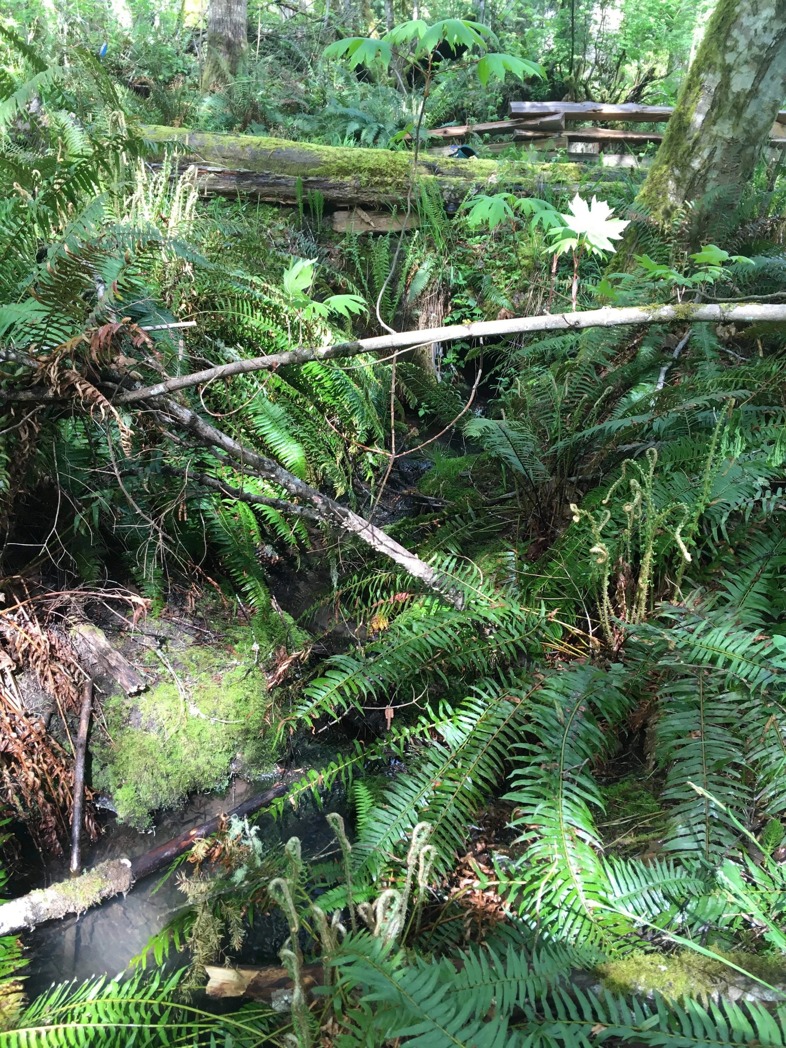
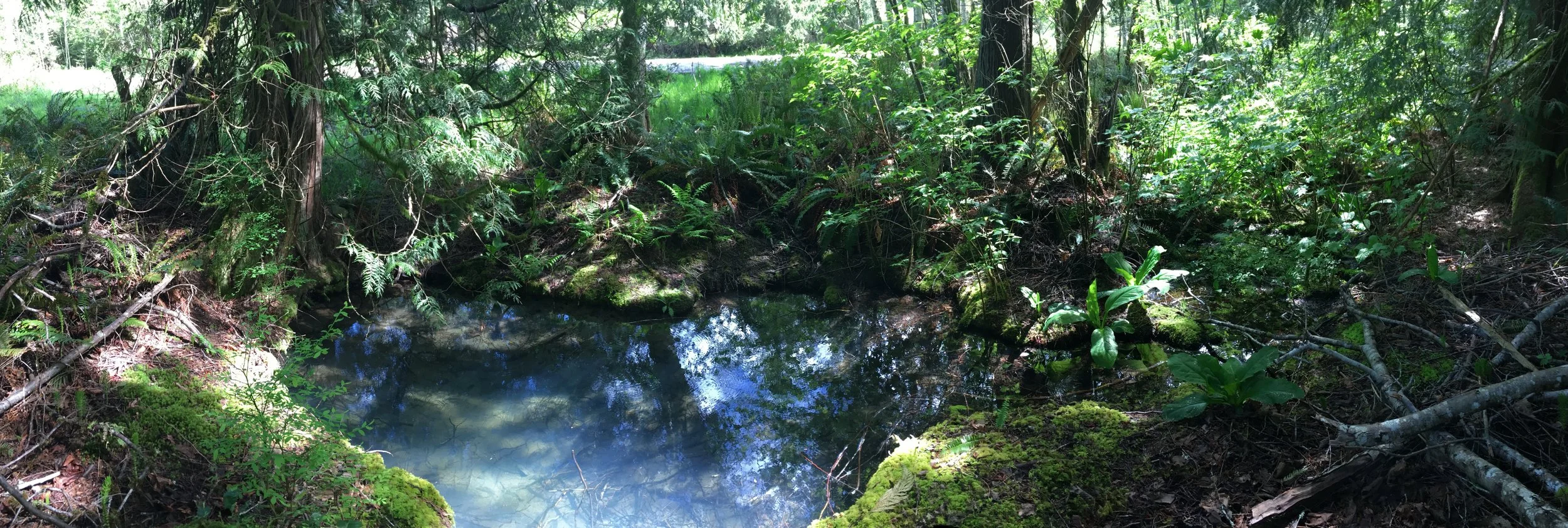
The Duck Creek Watershed (DUCK) is the third largest watershed on Salt Spring Island (974 hectares), and receives about 9 million cubic metres of rainfall annually. It is dominated by St. Mary Lake (SMLK) and its associated drainage basin. Duck Creek itself is a significant riparian area and salmon-bearing stream, discharging from the southwest corner of St. Mary Lake and outflowing to the sea near Vesuvius.
St. Mary Lake holds 16 million cubic metres of water and has maximum depth of about 17 metres. Surface freshwater inflows are sourced principally by upland freshwater catchment areas to the west (Channel Ridge), a large catchment area in the Epron Road area to the northwest, and from a smaller wetland catchment area to the northeast along North End Road. A separate wetland area in the southeast corner of the watershed and a series of small streams on the southwest slope of Channel ridge bypass St. Mary Lake and flow directly into Duck Creek. The Hul'q'umi'num' name for St. Mary Lake is Tle Tlem Xaat’sa.


Ecology & Land Use
Under a legal covenant signed in 2003, SSIWPS manages the St. Mary Lake Watershed Reserve, 110 hectares of protected forest on the east slope of Channel Ridge. Walking trails in the Reserve have different rules than those of the non-watershed Channel Ridge Trails.
Negative anthropogenic changes in the St. Mary Lake basin (such as fire or pollutant spillage) risk catchment area degradation (contamination, soil erosion, reduced natural ecosystem filtering, etc.) on a significant scale. Given the reliance of SSI residents on water for the NSSWD, and the lake’s 5-15 year flushing time (Sprague, 2009; Squires & Bodaly, 2020), any sort of degradation could have a significant impact on SSI freshwater supply for some time.
Geology
A part of the St. Mary Lake geological fault system expresses itself as a spring on the north of Booth Inlet (Golder, 2019). The exact nature of the through-going north-south geological faults within the St. Mary Lake area is unknown, though these lineaments have the potential to contribute to groundwater inflow into the lake via lake-bed inflow, as is speculated for several other SSI lake systems. These faults may also act as conduits for more saline water incursions (Hodge, 1995; Greenwood, 2011; Laroque et al., 2015), and/or play a role in controlling/maintaining flow in McFadden Creek.
Withdrawal
The Duck Creek watershed (and in particular the St. Mary lake basin) is SSI’s most important source of freshwater for humans. The North Salt Spring Waterworks District (NSSWD) alone withdraws around 400 000 cubic metres of freshwater annually and services 45% of the island’s population; other users include the Fernwood Highland Water District, local resorts, and many lakeside residents, about 80 private wells, and several licensed springs.
Further Reading
Barnett et al., 1993., Salt Spring Island Water Allocation Plan.
Hodge, W. S., 1995., Ground Water Conditions on Salt Spring Island.
SSI Salmon Enhancement Society, 1998., Habitat Restoration and Salmon Enhancement Program.
Sprague, J. B., 2009., Nine Lakes on Salt Spring Island, B.C.; Size, Inflow, Precipitation, Runoff and Evaporation.
Greenwood, H. J., & Mihalynuk, M. G., 2009., BC Geological Survey, Open File 2009-11 Salt Spring Island Geology.
Greenwood, H.J. 2011., Saltspring groundwater in bedrock. A preliminary study for Saltspring Water Council.
McCullough M., 2011., Anadromous Coastal Cutthroat Trout Habitat Reconnaissance. FLNRO.
Larocque, I. Allen, D. M. & Kirste, D., 2015., The Hydrogeology of Salt Spring Island, SFU.
Hodges, D. O., 2018., Technical Note Water Diversion Licence Limits for St. Mary's Lake, Salt Spring Island.
Ecofish Research Ltd., 2018., Duck Creek Instream Flow Study. Prepared for NSSWD.
Hodges, D. O., 2017., Safe Yield Analysis for Surface Water Resources.
GW Consultants., 2019., Salt Spring Island Groundwater Recharge Potential Mapping for IT, circulated with 2019/10 meeting reporting.
Squires, M., Bodaly, D., 2020., Phosphorous Loading to St. Mary Lake via Stream Inflows, 2019-20.
Squires, M., Bodaly, D., 2020., Summary of Six Reports, Gulf Island Lakes (New Work 2014-2020), B.C., Canada.
North Salt Spring Water District (NSSWD), cf. website History of North Salt Spring Waterworks, Hydrology Reports, and St Mary Lake
Water Preservation Society, cf. website St Mary Lake Brochure.